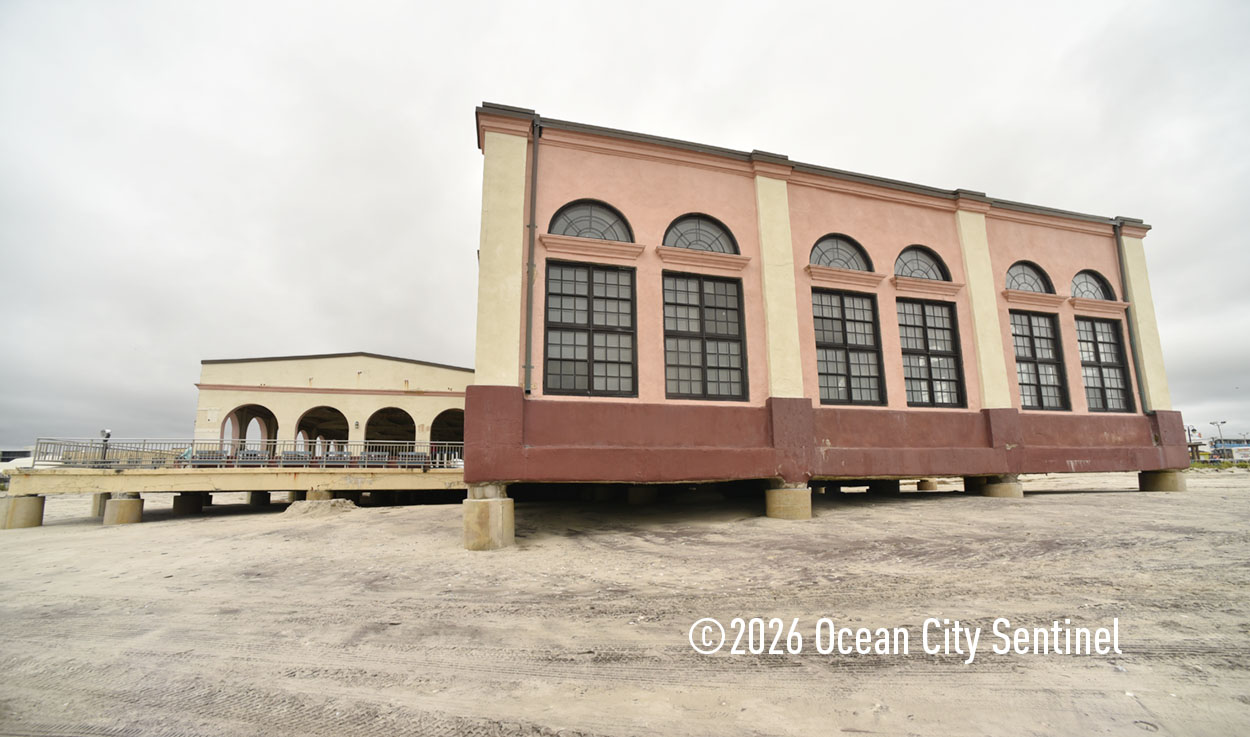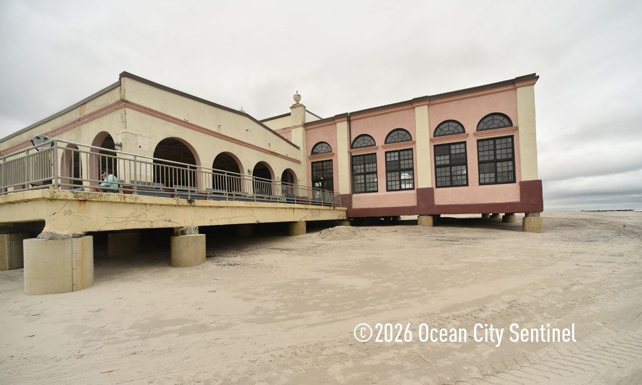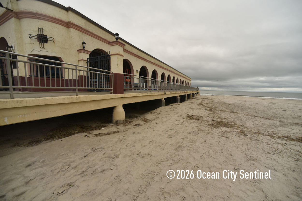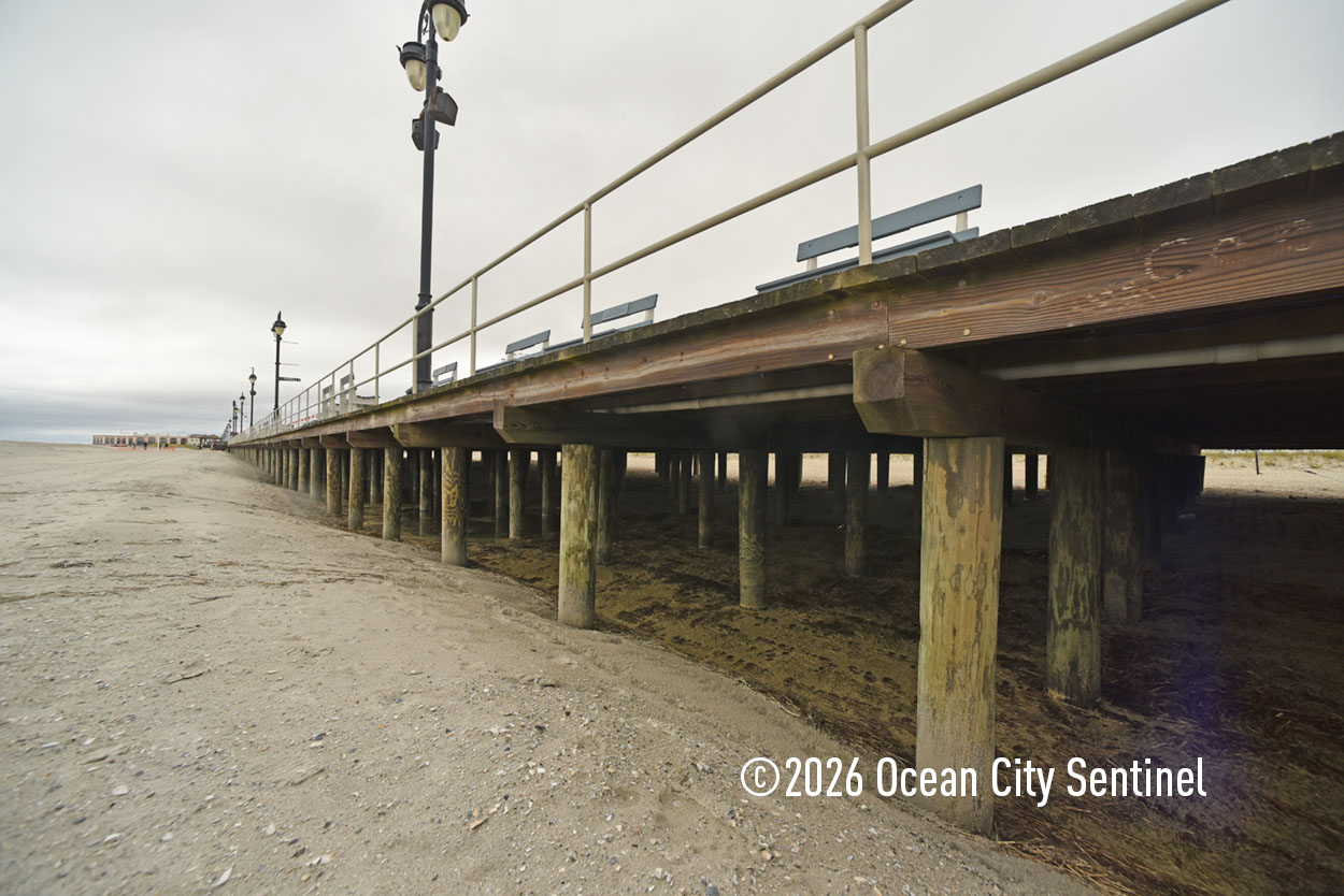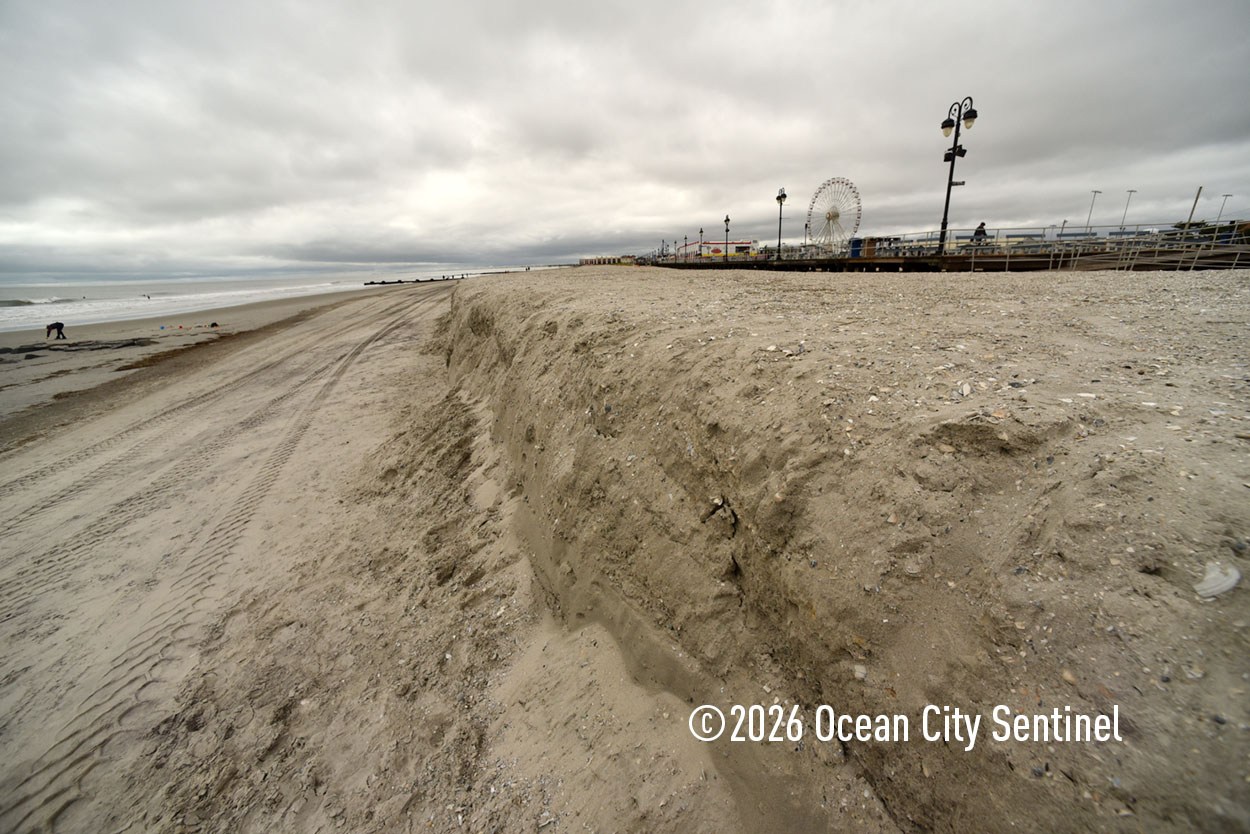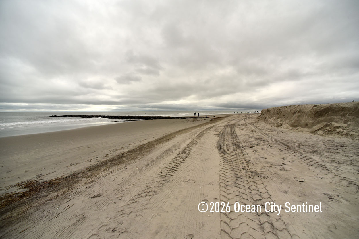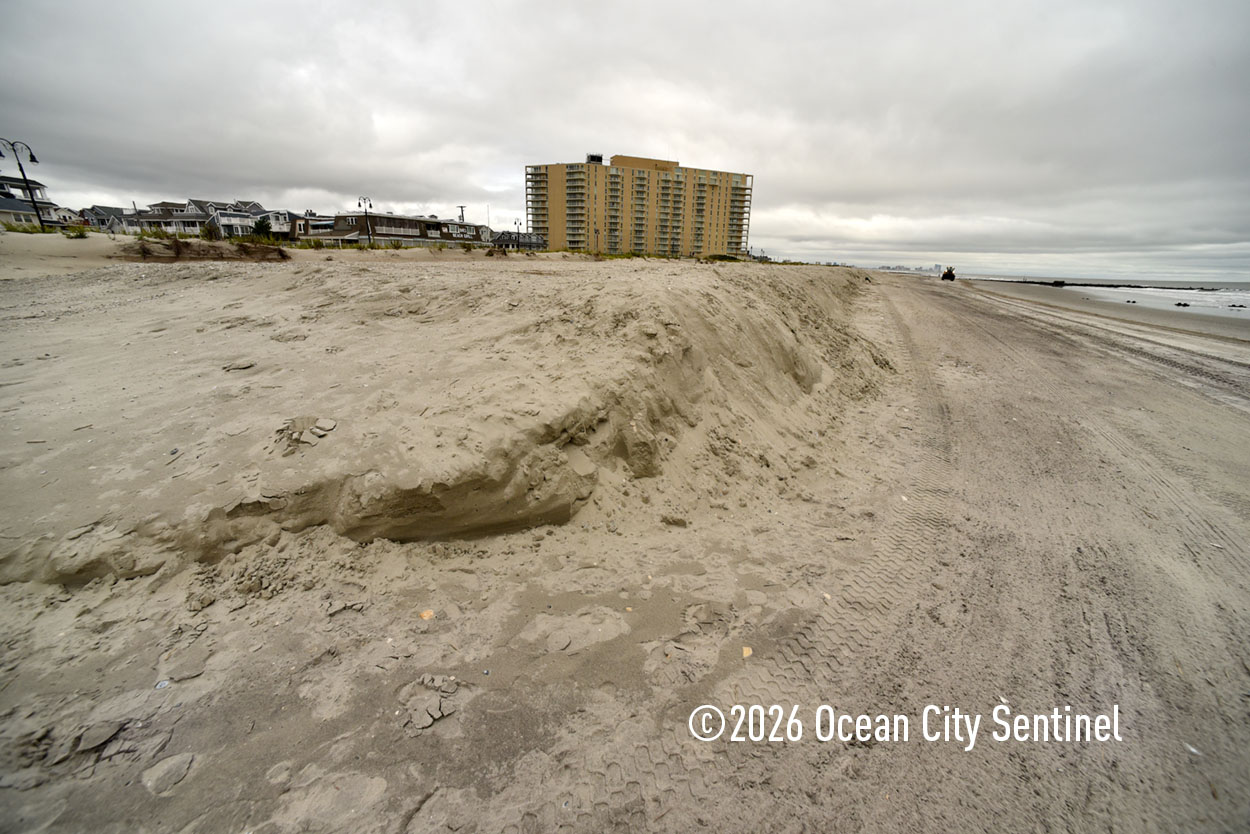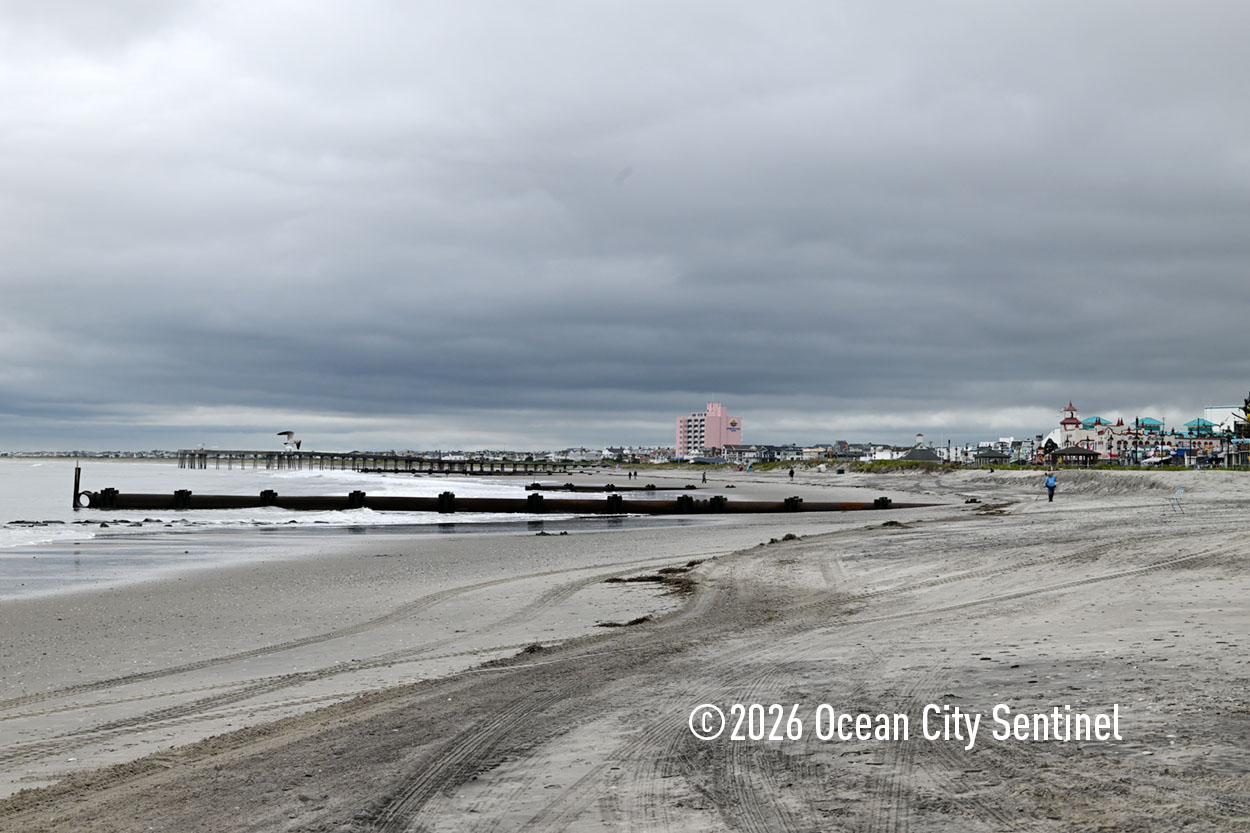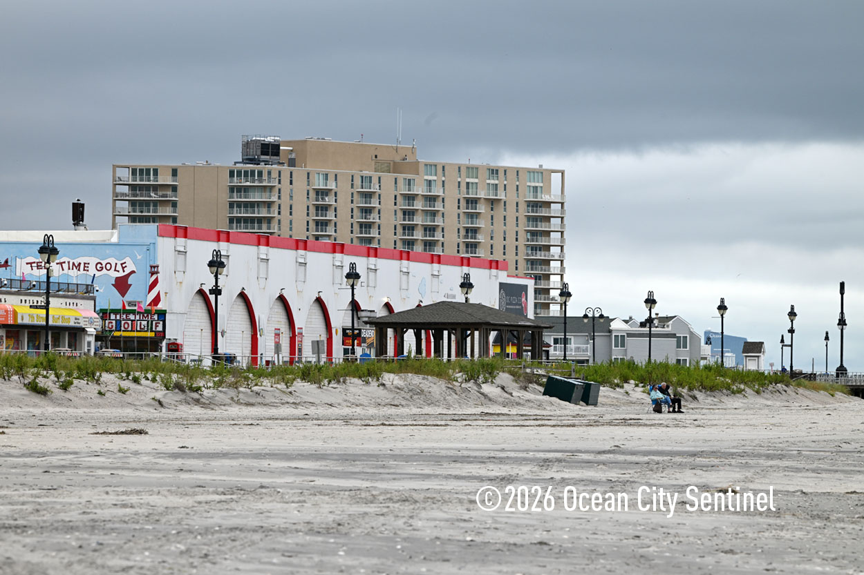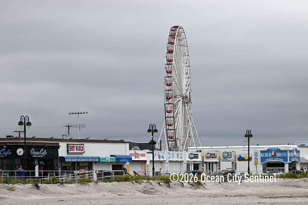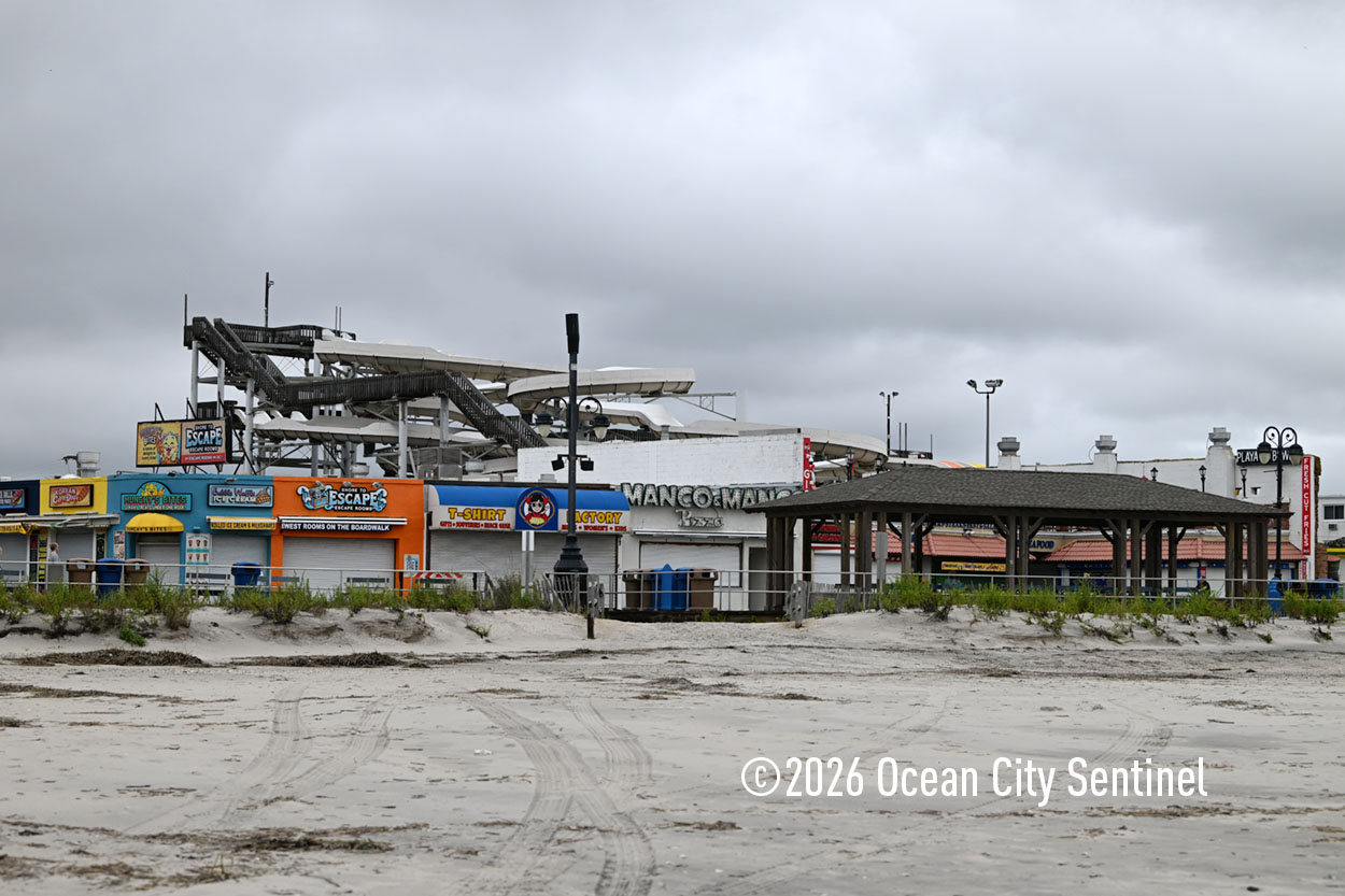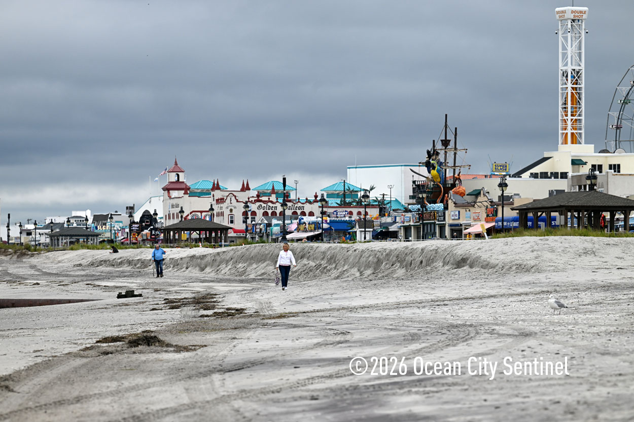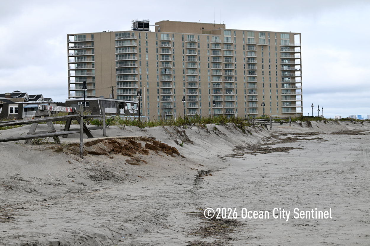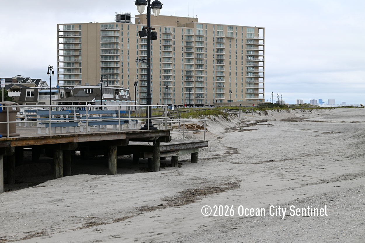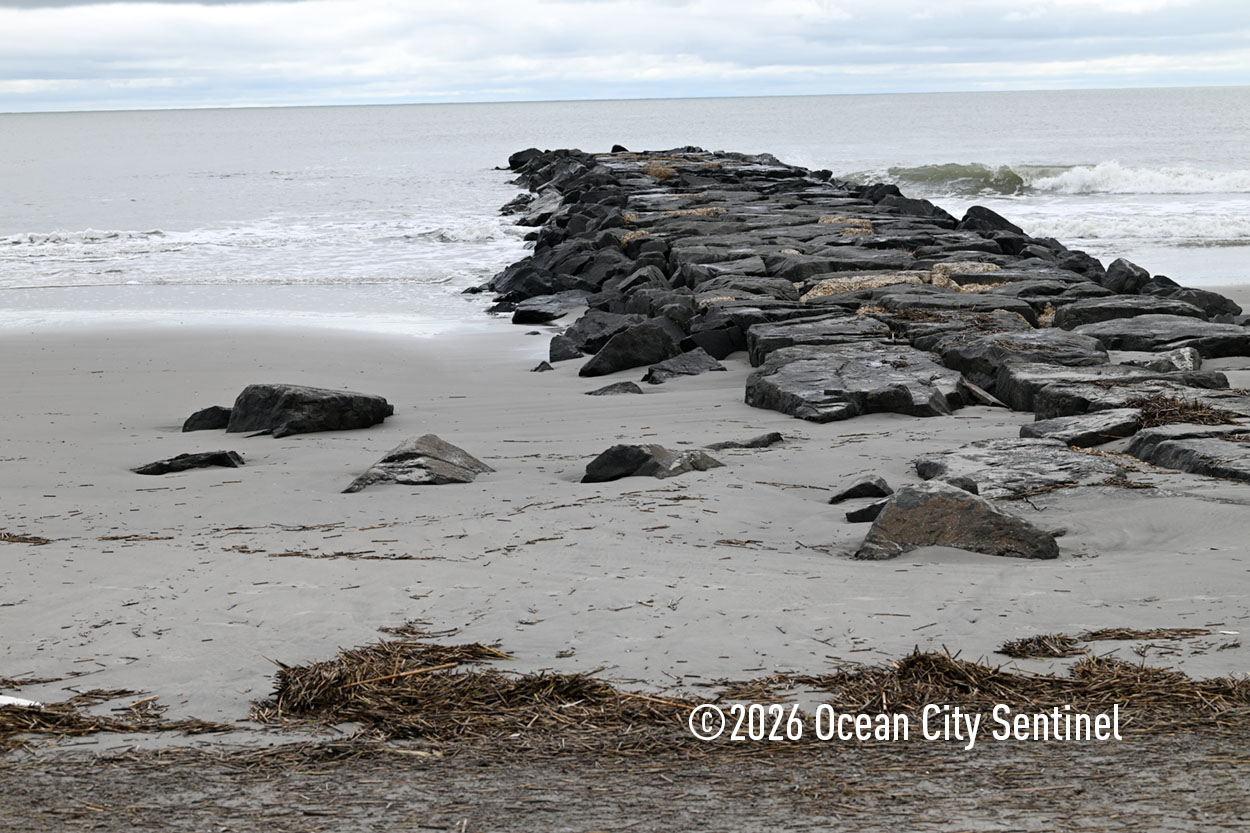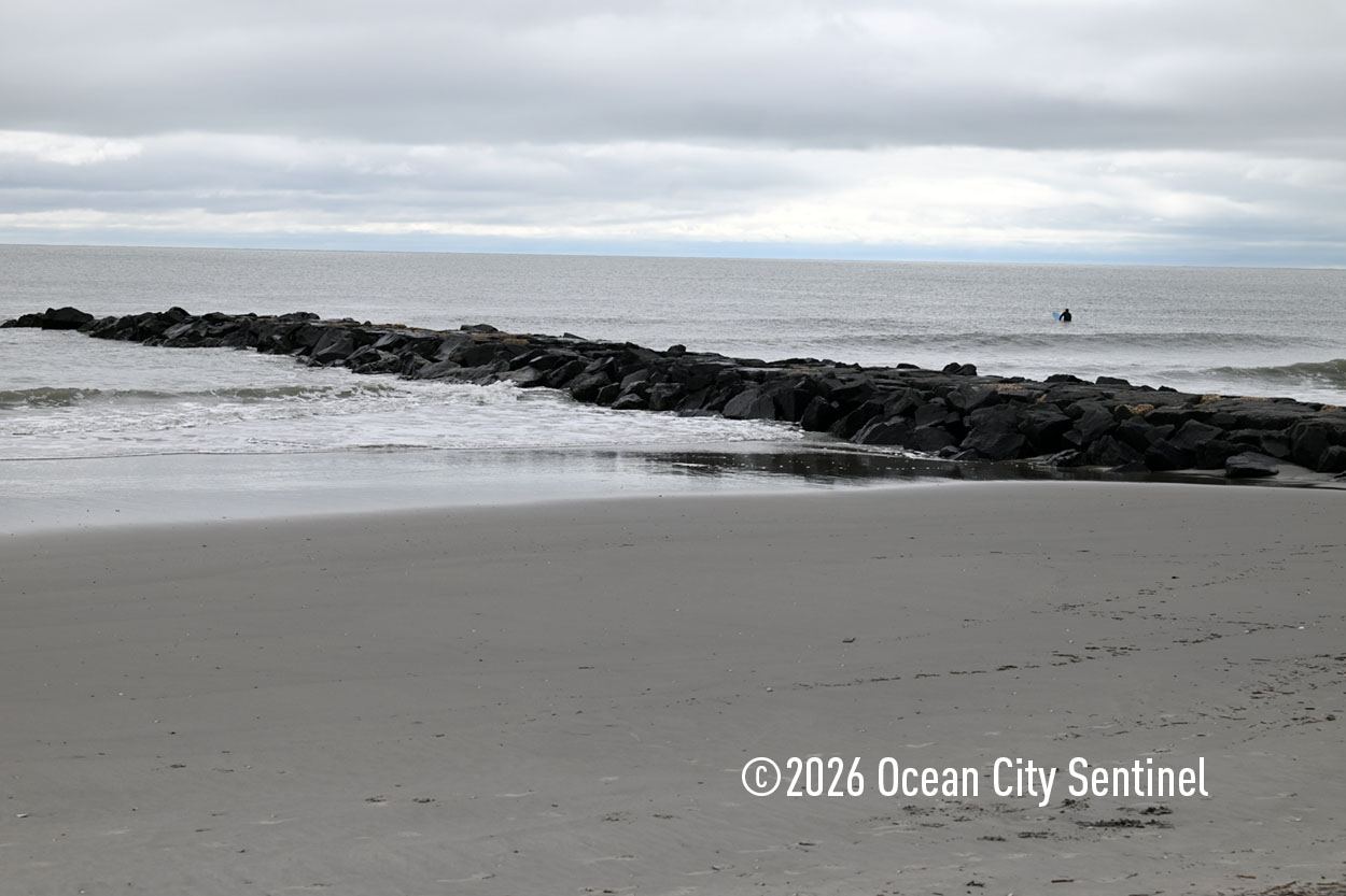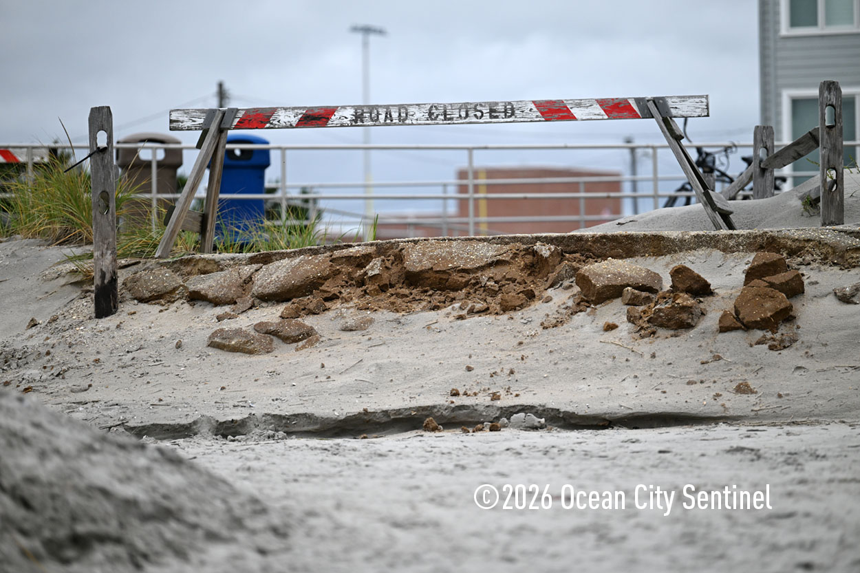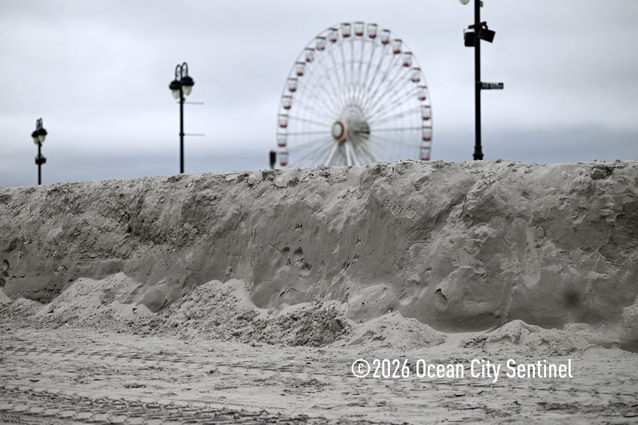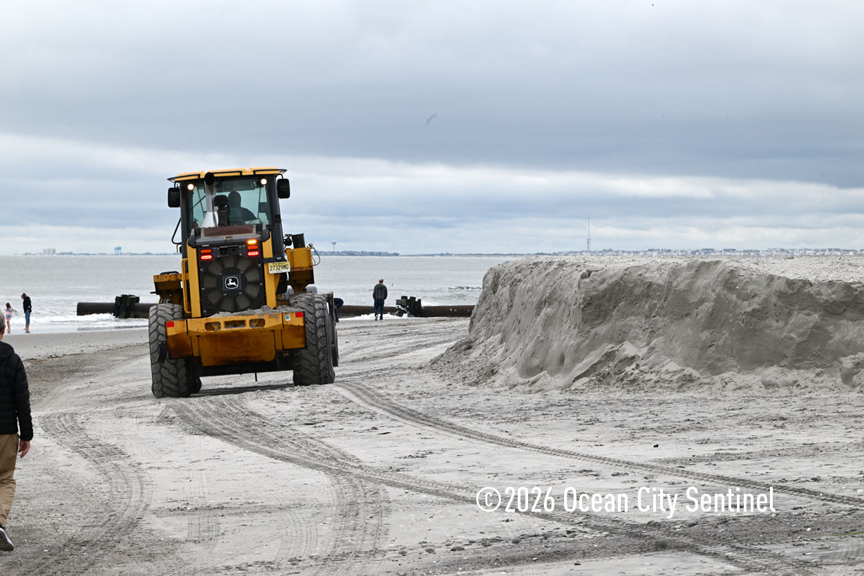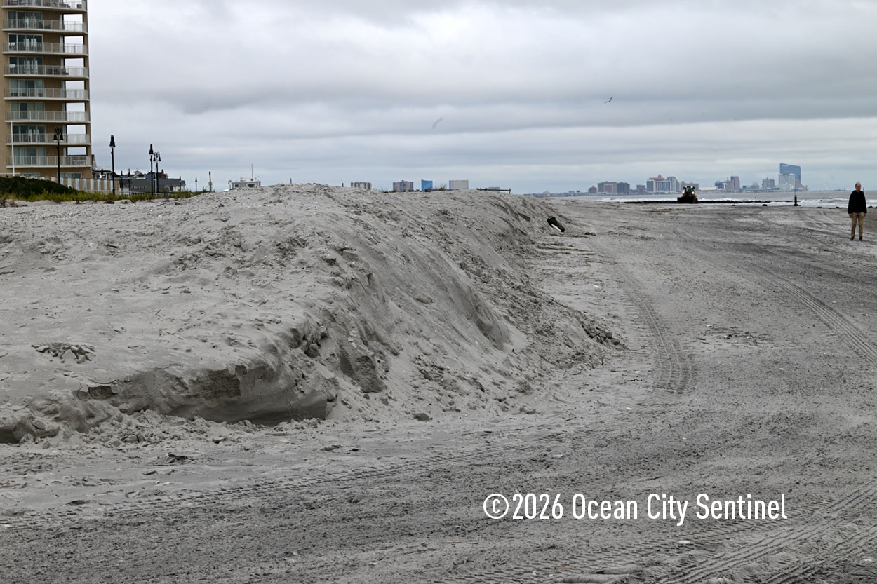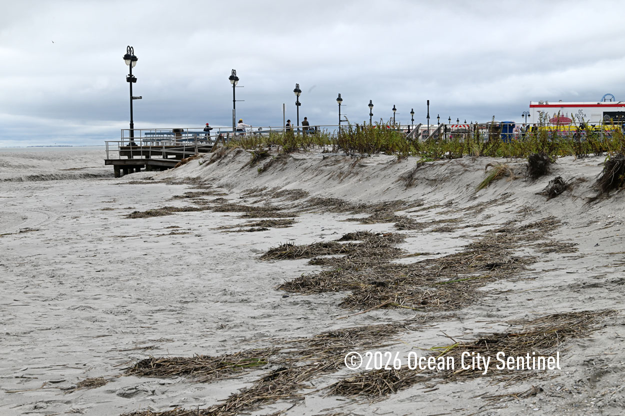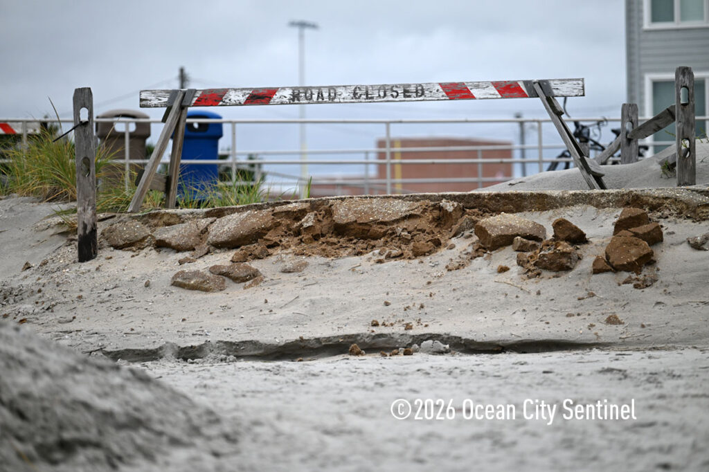
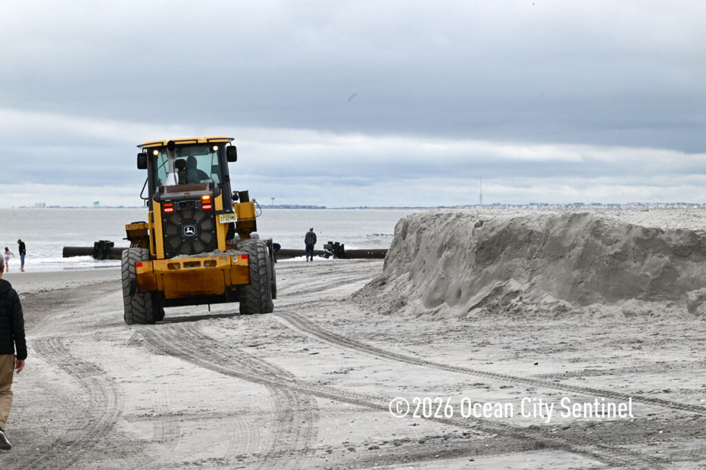
OCEAN CITY — Just weeks after a beach-replenishment project wrapped up on the city’s north end, a major nor’easter battered the island during a full moon, generating astronomical high tides and strong winds that led to flooding and erosion.
“It’s too preliminary to assess beach erosion, but a team from the NJDEP’s Office of Coastal Engineering was on our beaches today doing post-storm surveys,” Mayor Jay Gillian said Monday. “Thanks in large part to our recent replenishment project, the ocean did not breach our dune system at any point. Without that, damage to property could have been substantial.”
From Friday, Sept. 25, to Sunday, Sept. 27, the storm generated strong winds, high surf and coastal flooding. Gov. Mikie Sherrill declared a state of emergency for Atlantic and Cape May counties, among others.
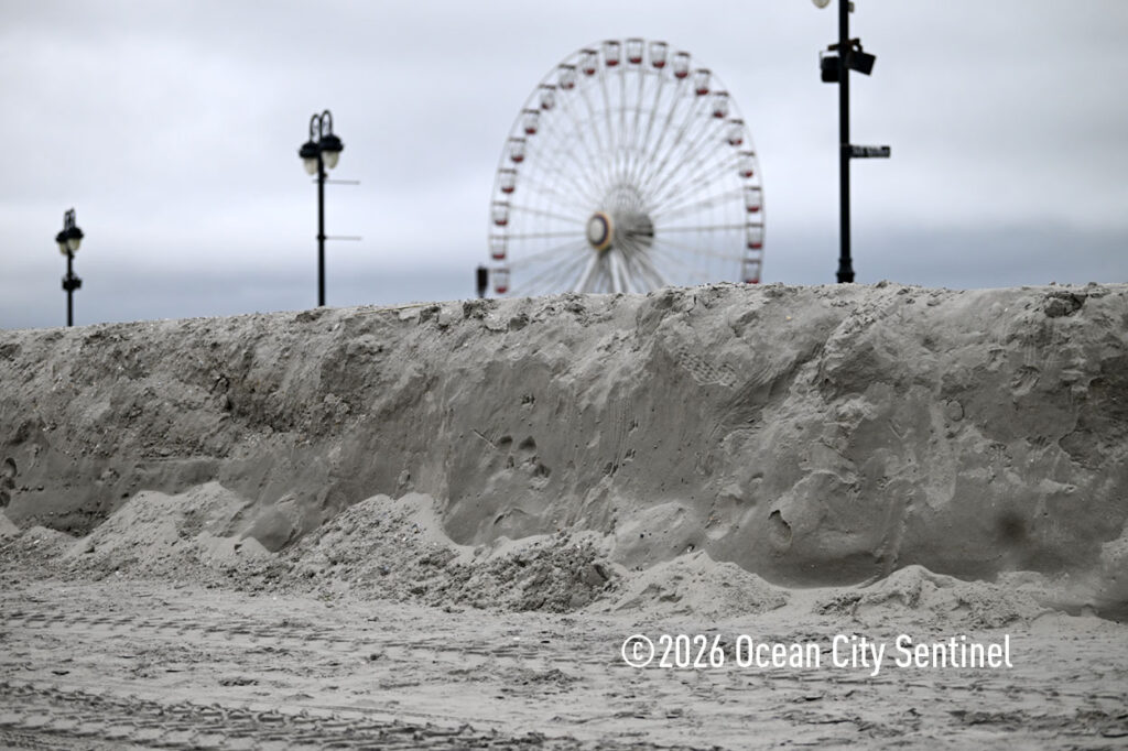
Sarah Johnson of the National Weather Service in Mt. Holly said Ocean City suffered major tidal flooding, reaching 7.6 feet mean lower low water at the peak crest during Saturday morning’s high tide. She said that is the fourth-highest high tide recorded at the station at Great Egg Harbor Bay.
Johnson said rain was a factor in contributing to flooding, but the astronomical high tide caused by the full moon and wind-driven waves were the major causes. She said the strongest gust recorded across Cape May County reached 61 mph, measured near Wildwood and Avalon.
Nor’easter activity is most common from November through March, although they can form at any time of the year. They are most frequent and violent between September and April, according to the National Oceanic and Atmospheric Administration.
Steve Hafner, principal investigator and research scientist at Stockton University’s Coastal Research Center, said the most significant damage from nor’easters in southern New Jersey occurs at the northern end of the barrier islands due to direct exposure to waves out of the northeast and dynamic inlet currents rapidly moving sand during the tides.
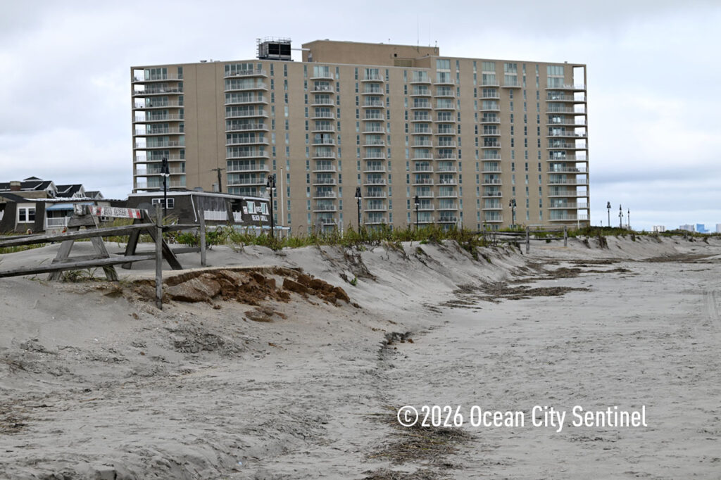
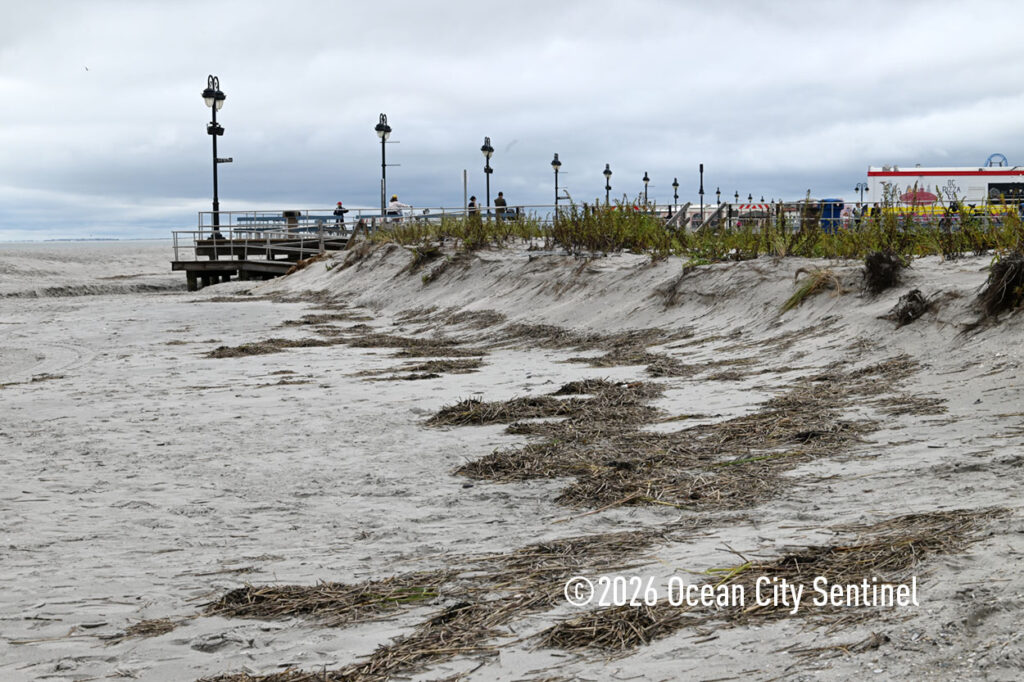
“This storm followed these trends as the north-end beaches in every shore town from Brigantine to Avalon were affected,” Hafner said. “Beaches were flattened in elevation and dunes were cut, leaving steep near-vertical escarpments behind.”
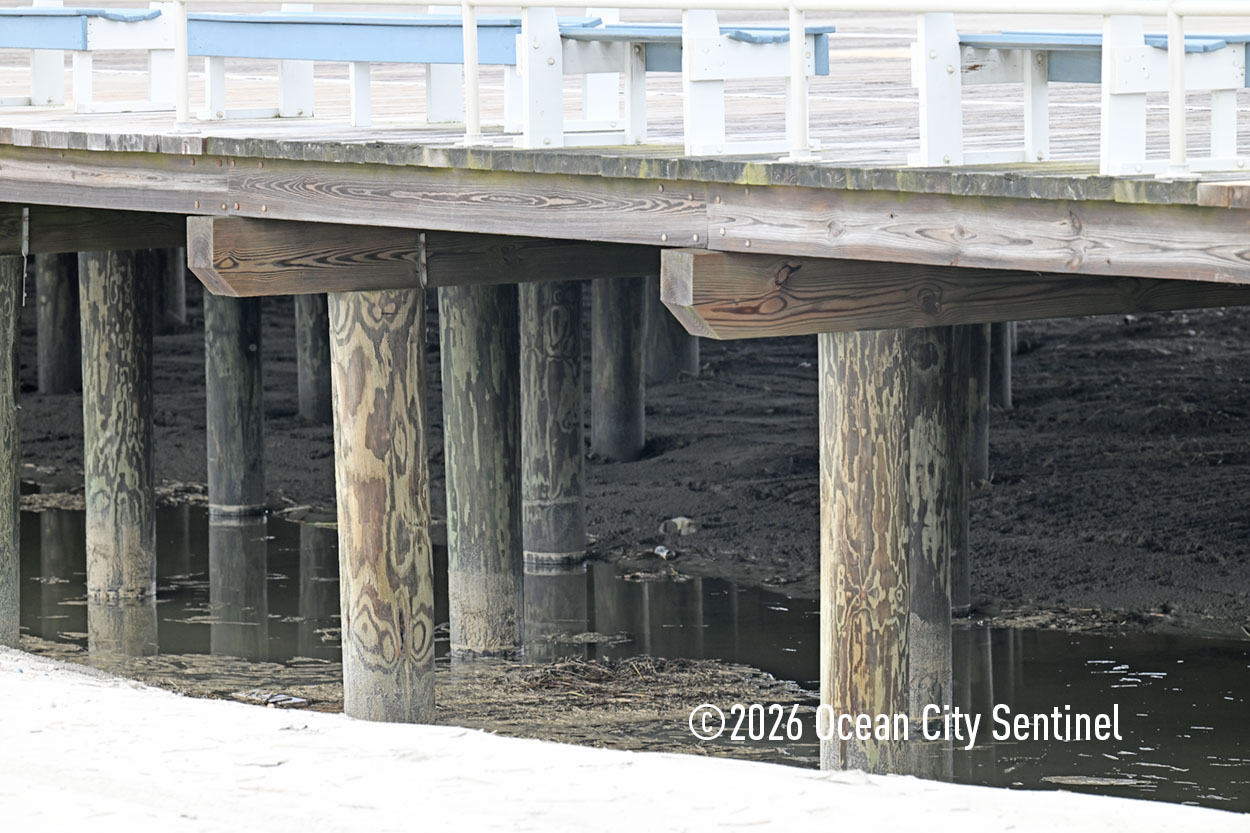
In North Wildwood, waves over-topped the seawall and the remaining beach and dunes to the south and along the inlet were heavily affected. The waves and tidal surge flooded even the wider Wildwood beaches, sending water under the boardwalk.
“Although the storm occurred during a full moon that contributed to the severe tidal surge and overall flooding, things could have been much more severe if it weren’t for the in-place beach nourishment projects along most of the coast. These helped to reduce property and infrastructure damage from direct wave impacts,” Hafner said.
He said the fact that the storm came very early in what is predicted to be a historic El Nino season could be very problematic for New Jersey coastal communities this fall and winter.
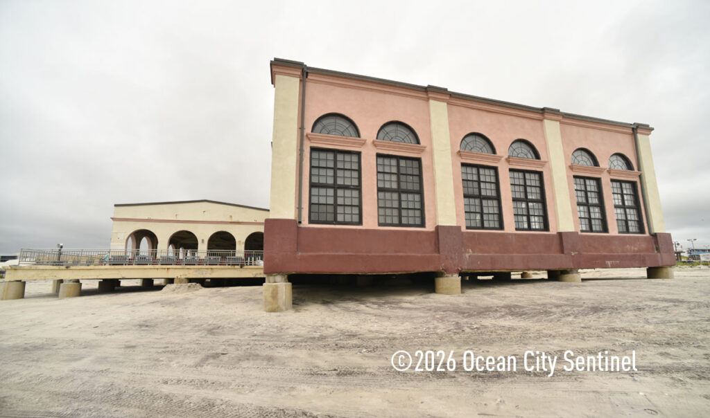
“During a typical El Nino, the mid-Atlantic shorelines can see an increase in the number and intensity of coastal storms. If there is insufficient time for sand to move naturally back on shore from the offshore bars in between storms, the vulnerability increases and impacts will be intensified,” Hafner said.
Due to flooding at the base of the Ninth Street Bridge in Ocean City, the outbound lanes of the Route 52 causeway were closed for a time over the weekend, as were the other bridges into the resort.
On Monday, Gillian said the city is continuing to clean up and assess damage.
“All bridges and streets are open, and no further flooding is in the forecast,” he said.
Public Works vehicles are working to clear sand and other material from the streets.
Gillian said the city police and fire department responded to many disabled vehicles and a handful of lithium-ion battery fires in electric vehicles.
“I’m told that remains a risk for any lithium-ion electric vehicle, e-bike, scooter or battery-operated tool submerged in or damaged by salt water. Please be aware of this risk and take precautions to avoid a fire,” he said.
Despite warnings, many people lost vehicles during unnecessary travel.
“Our police stopped many vehicles during the height of the flooding, and asked those not responding to an emergency to go back home. Driving during these flooding events poses a danger not only to the drivers and their vehicles, but also to properties damaged by their wake,” Gillian said
All of the pumping stations were operational and effective during the storm.
“Without them, floodwaters of the level we saw this weekend would have taken days to drain. The newly elevated Roosevelt Boulevard remained above the floodwaters and provided a reliable evacuation route during the storm,” Gillian said.
The mayor said the city’s high-water rescue vehicles were a critical resource during the flooding. They responded to fires and medical emergencies throughout the weekend.
“On Saturday, they were able to transport patients from flooded areas to EMS teams in Upper Township, where we had established a mutual aid agreement,” the mayor said.
Fire Chief Bernie Walker said the high-wheel vehicles were very effective.
“We had some significant flooding, the highest in a decade or so, which really hampered our ability to get around the island. The high-wheel vehicles were able to handle the bulk of emergency service,” he said, noting there were about 50 calls for service between Saturday and Sunday morning.
He said the department tries to get vehicles as close as possible to the site of the emergency, making the storm trucks vital to operations.
“Several times we had to bring the storm trucks and were able to transport the patients to an ambulance. In one case we could not get the ambulance off island, so we transported patients in the storm truck,” Walker said, noting they were well worth the investment. The city took delivery of two storm trucks at the end of 2025.
Walker said he was really proud of how all of the emergency services and city administration worked together to handle the storm.
The city’s outdoor recreation programs and activities for the weekend were canceled. The MS Bike City to Shore Ride also was canceled.
Ocean City has opened the Shelter Road Recycling Center for residents to drop off bulk and storm-damaged material. The facility will be open 8 a.m. to 5 p.m. Monday through Saturday. Shelter Road is off Tennessee Avenue, which intersects Bay Avenue near 22nd Street.
“We are bringing in dumpsters to accept the material. Please be careful driving in this area, which includes playing fields for our students,” Gillian said.
The regular trash and recycling pickup service will operate on a normal schedule, including yard and vegetative waste placed at curbside. The city will be assisting with these services.
Committeeman Zack Palombo, who oversees the Department of Public Works, said Upper Township fared amazingly well.
“We had some erosions, but it wasn’t like we saw during Sandy or 2010 when we had back-to-back nor’easters that swept sand out of the state park. We did not have the bay touch the ocean on Commonwealth,” he said.
Palombo said the beach replenishment project held up well.
“If we didn’t do that, homes on Neptune would have had stormwater coming into their homes and maybe the ocean,” he said. “The beachfront protects millions of dollars in properties and anyone who resides in Strathmere as well.”
Mayor Curtis Corson said the dune system held strong.
“We have a little bit of gully in front of the new dune. We do have some scarping on the southern end, where we did not have beach replenishment,” he said.
Corson said the DEP would be surveying the beach to determine the amount of damage.
“We obviously lost some beach but I don’t think it’s going to be significant,” he said. “It did what it was designed to do. If it wasn’t there, we would have had a catastrophic event.”
– By CRAIG D. SCHENCK/Sentinel staff
– By RACHEL SHUBIN/For the Sentinel
– PHOTOS by DAVID NAHAN/Sentinel staff